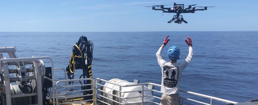
- Marine researchers are increasingly turning to aerial drones for a new view of the ocean, given that their resolution is much finer than that of satellites.
- While drones are used in all kinds of ways in marine studies, researchers say drones can be equipped with special sensors to track small changes in the ocean’s movements that drive much of marine life.
- Drones could be especially helpful in finding and tracking local and dangerous algae blooms, for example.
- Researchers remain hindered by regulations and cost, but that hasn’t stopped them from using drones to increase our knowledge of our blue planet.
In fact, drones, which fly at much lower heights than satellites but higher than sea-based surveys, offer perspectives that can fill in key observational blind spots in the ocean, according to a new review published in Frontiers in Ecology and the Environment.
“From a ship, you’re just moving along and taking one sample after another. So they’re kind of point samples,” said Patrick Gray, the study’s lead author and a Ph.D. student at the Duke University Marine Lab in North Carolina, U.S.
Continue reading: https://news.mongabay.com/2022/04/where-satellites-come-up-short-drones-can-fill-in-a-picture-of-our-oceans/

