K
Kathleen Martin
Guest
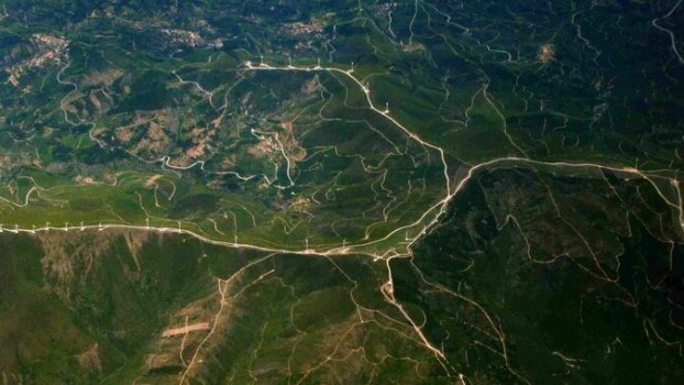
Today satellite imagery in agriculture directs to fresh and efficient Industry growth. Agricultural methods are becoming more predictable and seamless and it is further improving the farm planning method with accurate forecasts further enhancing decision making.
Precision agriculture operations benefit from the integration of technological solutions such as IoT devices and determining appropriate agro-chemical requirements. Satellites and remote sensors continuously monitor farms and enable farmers and agribusinesses to examine data and receive real-time updates to understand and know their precise harvesting time.
Increasing the Sustainability Of Agricultural Methods
Today with the looming threat of global warming, water management and sustainable farming practices have become inevitable. Water management can be cost-effective if paired with the right technology. Farmers and agri-businesses can use satellites to monitor big crop regions in real-time giving them an estimation of water requirements and demand across the field. This further helps conserve water most effectively and assists in better irrigation management and effective farm management.
Climate Resilience And Satellite Images
Famine, droughts, floods and unpredictable weather conditions have all been exacerbated by global warming. Experienced farmers can foresee such issues and treat them in time. However, the problem lays when one might not have the correct information to tackle an issue of this caliber or might not have the experience to foresee disasters. Satellite images can not only aid in such situations with their constant weather monitoring and prediction but can also help by providing the correct and relevant information required to tackle an issue like this. Using technology can help establish a cost-effective strategy and ensure the long-term viability of agriculture.
Growing Healthier Crops In a Futuristic Fashion
For farmers and agribusinesses, pest infestations and crop diseases can be a big source of anxiety. Farmers use insecticides, fertilisers, and herbicides to keep these yield-depleting pests at bay. Spraying the same amount of pesticides across the field is one of the most common blunders farmers unconsciously make. Each plot's and crop's requirements may differ greatly and this piece of information is commonly missed by agri-stakeholders. Over-spraying chemicals can reduce crop quality and affect the soil's nutritional value. Agro-chemical requirements for specific portions of a field can be determined using satellite data. This guarantees that each crop receives only the amount of chemical it requires and nothing more, reducing crop failures and alleviating important food security concerns.
Continue reading: https://www.entrepreneur.com/article/401120

