Taking another step towards realizing our collective vision of an Aatmanirbhar Bharat, the Central Government under the leadership of Hon’ble Prime Minister Shri Narendra Modi, has released India’s airspace map for drone operations on 15 September 2021.
The map is available on DGCA’s digital sky platform at https://digitalsky.dgca.gov.in/home.
The drone airspace map comes as a follow-through of the liberalized Drone Rules, 2021 released by the Central Government on 25 August 2021, the PLI scheme for drones released on 15 September 2021 and the Geospatial Data Guidelines issued on 15 Feb 2021. All these policy reforms will catalyze super-normal growth in the upcoming drone sector.
WHY ARE DRONES IMPORTANT?
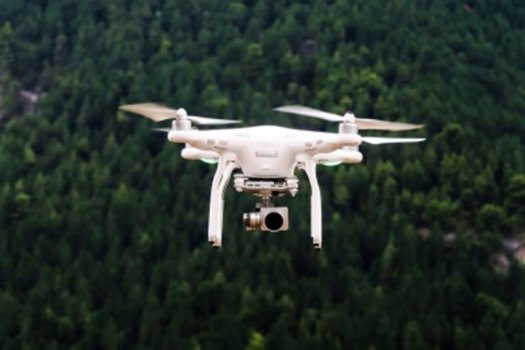
Drones offer tremendous benefits to almost all sectors of the economy. These include – agriculture, mining, infrastructure, surveillance, emergency response, transportation, geo-spatial mapping, defense, and law enforcement to name a few. Drones can be significant creators of employment and economic growth due to their reach, versatility, and ease of use, especially in India’s remote and inaccessible areas.
Continue reading: https://www.punjabnewsexpress.com/news/news/ministry-of-civil-aviation-releases-airspace-map-for-drones-149966
The map is available on DGCA’s digital sky platform at https://digitalsky.dgca.gov.in/home.
The drone airspace map comes as a follow-through of the liberalized Drone Rules, 2021 released by the Central Government on 25 August 2021, the PLI scheme for drones released on 15 September 2021 and the Geospatial Data Guidelines issued on 15 Feb 2021. All these policy reforms will catalyze super-normal growth in the upcoming drone sector.
WHY ARE DRONES IMPORTANT?
Drones offer tremendous benefits to almost all sectors of the economy. These include – agriculture, mining, infrastructure, surveillance, emergency response, transportation, geo-spatial mapping, defense, and law enforcement to name a few. Drones can be significant creators of employment and economic growth due to their reach, versatility, and ease of use, especially in India’s remote and inaccessible areas.
Continue reading: https://www.punjabnewsexpress.com/news/news/ministry-of-civil-aviation-releases-airspace-map-for-drones-149966